The CrossingKep Track to Northam
The First Navigation Adventure
The first full day brought rain, the Kep Track and our first proper navigation problem. Local runners, map screenshots and the crew somehow got me through to Northam.

Day 2 began by going backwards.
After the late finish and Mike H rescuing our first overnight wobble, we drove back to the exact place Day 1 had ended. I had slept, showered, had a cuppa, talked for a bit, and then asked my legs to accept that their rest break was over.
The plan sounded simple enough: follow the Railway Reserves Heritage Trail and Kep Track toward Northam, pop up at places like Bakers Hill, eat something substantial, and get another 50-odd kilometres done.
Simple plans can be funny things in the world of HAA.
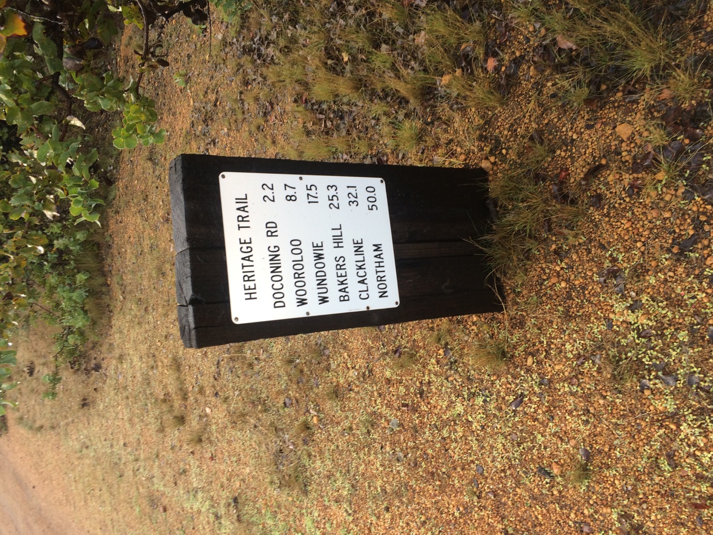
It was wet again. The rain had the decency to wait until I started walking, which felt about right. I was still close enough to Perth for the landscape to feel familiar, but the signs were starting to say different things. Northam was no longer an abstract destination on a spreadsheet. It was 50 kilometres away on a trail marker.
This would be the furthest east I’d travelled in WA. Day 1 had been the public start, the parkrun farewell, the cameras and the familiar paths out of Perth. After this, I would be in genuinely new territory.
Bakers Hill had been pencilled in for lunch from the earliest high-level planning. I had eaten a pie there after Tough Mudder, and the pies were very, very delicious. It became a later-than-planned lunch, which annoyed me a bit, because the day was already teaching us that the planned version and the lived version were going to be related, but not identical.
Around that part of the day, support crew Ben kept me company after lunch, and Ben Harris came out in the bad weather for a few kilometres. Ben Harris turning up was fantastic. We all enjoyed the pies at Bakers Hill and some excellent conversation with Mr H.
That became one of the great surprises of HAA. I went into it as a personal challenge, and it broadened into a charity fundraiser, but the thing that kept catching me off guard was people: the response, the support, the generosity, the positive spirit from friends and strangers. If you want to hear the worst of people, watch the news. If you want to experience the best of people, put on hi-vis and start walking across Australia.
The outside world was still close enough to intrude in odd little ways. I was stoked with the Channel Ten piece from the start, still hopeful that The Project might notice, still posting updates, still asking people to donate. Later in the day, I posted a selfie taken in the dark and joked that donations would make me feel drier and warmer. I am not sure that was medically accurate, but it was worth a try.
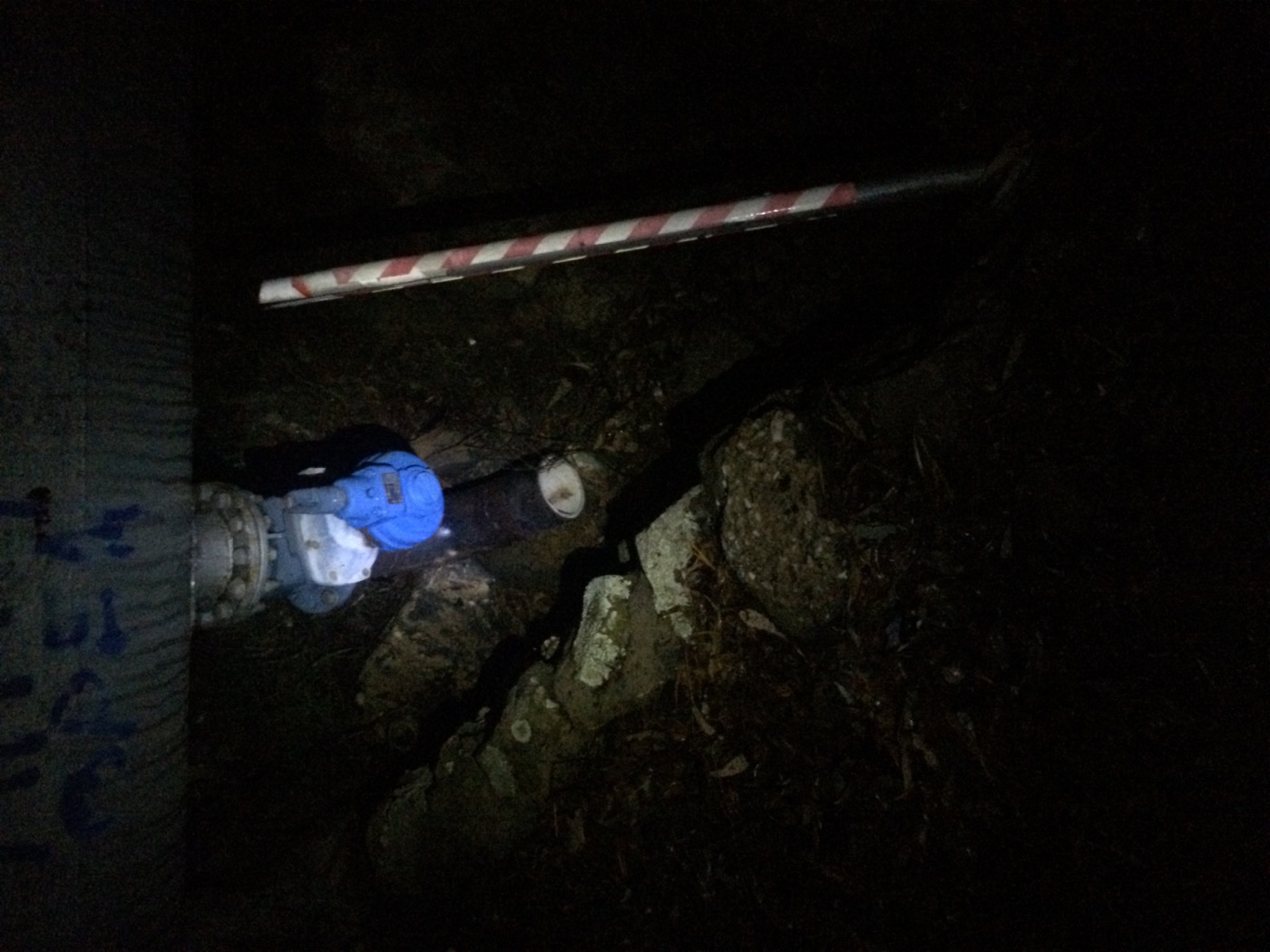
By the time darkness came in, the day had changed again. Somewhere around 47 kilometres into the Strava activity, I hit the first proper navigation problem of HAA. Near the water tank there was a particular path I needed to take, crossing from one track to another. In the dark, after a long day, it proved very hard to find. I kept ending up at a dead end.
So there I was, standing in the middle of nowhere with a phone, asking the local parkrun world for help. The Kep Ultra was coming up, which meant plenty of runners knew the area better than I did. Hints, tips, and Google Maps screenshots started arriving, and I compared those with the map on my phone until the route finally made sense.
That was one of the earliest HAA lessons. This was my walk, but it was never only me. The people following online, the runners who knew a track, the friends who turned up, the support crew in the van, the caravan park that gave us a discount because we were doing a charity thing: they all became part of the machinery that kept HAA moving.
Ols joined me for the late Kep Track problem-solving, which was probably not what he had pictured when he signed on. It was so good to have company. It would have been easy to feel lost, stuck, and forced to tackle it in the morning, but we worked through it and finally reached Northam well after dark.
At Northam Caravan Park, the day softened just enough. The fee was discounted because HAA was a charity effort. The van became home again. At 11:45pm, the update was not heroic. I was lying down at the back of the campervan while Ben and Ols did laundry, washing up, and the ordinary jobs that stop an adventure from falling apart. I felt grateful, and the rhythm of the support crew was already starting to form.
Images From The Day