The CrossingKinglake
Where It Went Sideways
The direct walking route into Kinglake looked sensible on Apple Maps. It delivered serious climbing, a beautiful wet forest and, by dark, a fence where the exit should have been.

Day 83 started beside Diamond Creek parkrun.
No time for a freedom run, obviously. I had wet hills to climb and, although I didn’t know it yet, an Apple Maps walking route waiting to make the evening interesting.
The first 12 kilometres were dark, damp and strangely enjoyable. Victoria had replaced the dry open country with green hills, narrow verges and winter rain. I finished that session with a cuppa while I waited for Albury local radio, 105.7 FM, to call.
If heading out of Adelaide had been speed work in disguise, I decided heading out of Melbourne was altitude training. The climbing was very real. The sweat of the effort was out-wetting the rain.
The route was a deliberate choice. Apple Maps offered a more direct walking line through the Kinglake area, saving some distance compared with the driving route, so that was the option we took. What I hadn’t properly allowed for was the elevation. National park territory should probably have been a clue.
It was tough, but it was beautiful too. I love forests, trails and being out in nature, and even the rain couldn’t take that away. The climbing pretty much counteracted all the benefits of the previous day’s massage treatment. So much for fresh legs.
Then I realised exactly where I was.
The Kinglake area had been devastated by the Black Saturday bushfires six years earlier, with terrible loss of life and property. Seeing the blackened timber and other reminders beside the route was poignant. So was seeing what had come back: new growth, flowers and all those unmistakable signs of life returning. That part was awesome.
By early afternoon my verdict was simple: “yup this is Victoria.” Wet hills, forest, narrow roads and enough climbing to make the second session much slower than I had hoped.
Then it went sideways.
After a mid-afternoon cuppa, Ben and Ols drove ahead in the campervan. The track had been getting narrower, but I assumed it would open up again somewhere near the exit.
Not long after, the campervan came back toward me.
Flooding and the terrain had made the track impassable for the van. We decided I could continue on foot while Ben and Ols drove back out and around to meet me. Sensible enough.
The flaw was my assumption that there would be another entrance.
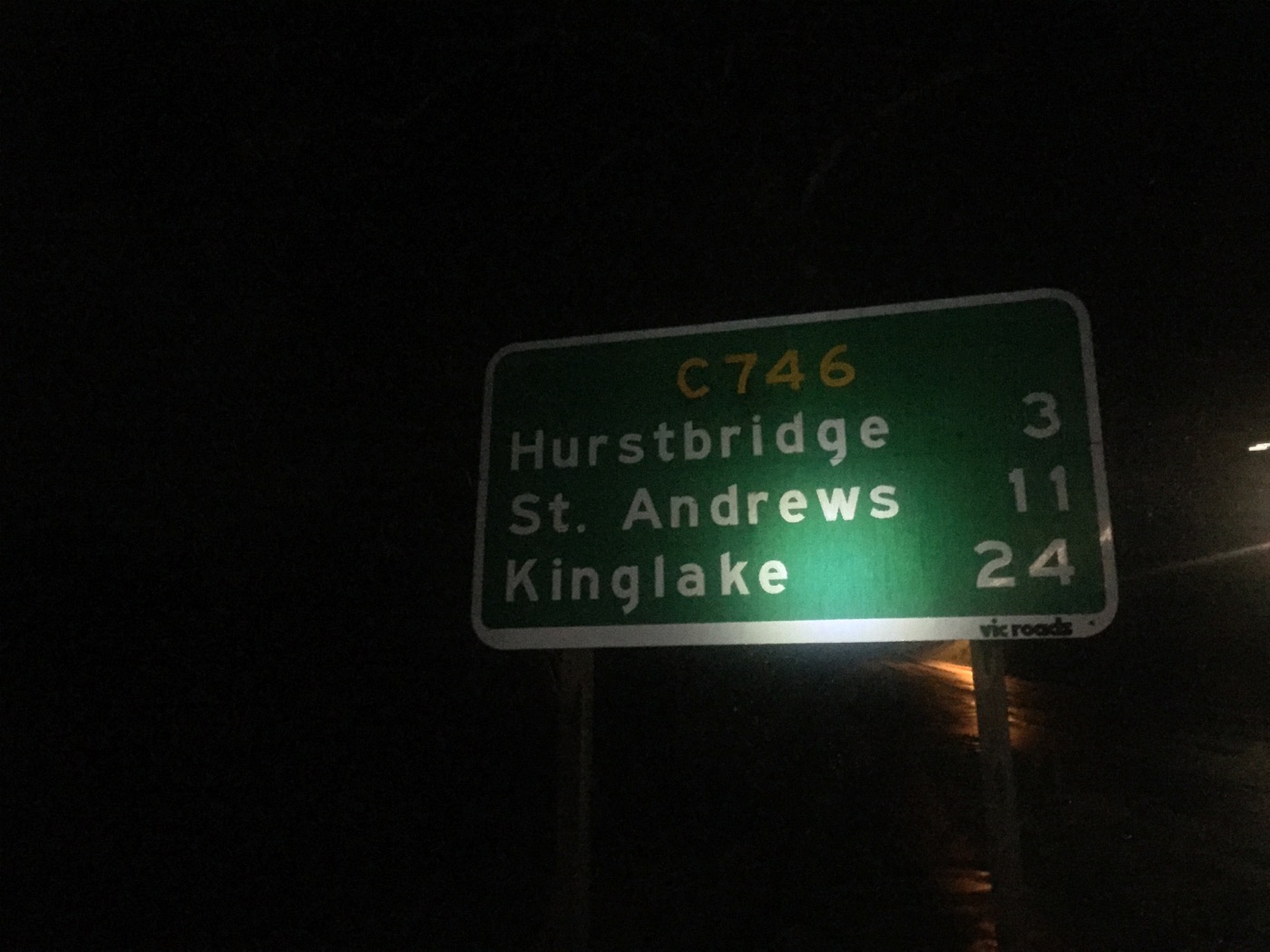
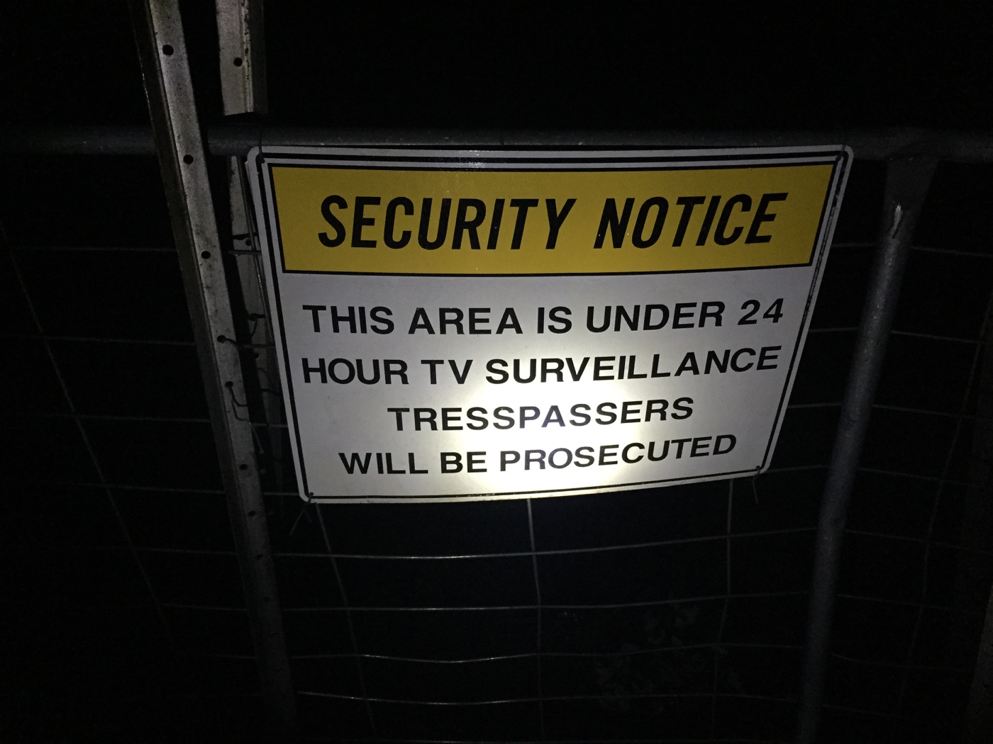
I picked my way through the flooded section, still trusting that the Apple Maps walking route would deliver me somewhere useful. Darkness arrived, phone signal became patchy or disappeared, and I found a sign and a fence where my exit was supposed to be.
I followed a track to the left, mostly because I didn’t want to walk all the way back. It was steep, uneven, muddy and flooded in places, but eventually it dropped me onto the main road.
I had made it out without a fall. I was also wet through, knocked around and about 8 kilometres short of where we had planned to finish. One bad step in the dark, without reliable phone signal, could have made the evening much more serious.
At the time I called it an adventure. It was fun in the way some HAA things were fun only after they had ended.
The four sessions still added up to 56.3 kilometres, but the next morning would begin with a battered body, a late night behind me and roughly 7 kilometres to recover.
The note to self was shorter: use the drive route, not the walking route.
No more adventures for a day or two, please.
Videos From The Day
Me Inside The Clouds
A wet Day 83 video from inside the clouds in the Kinglake hills, before the route went sideways later that day.
Open on YouTubeImages From The Day