The CrossingToward Nundroo
Pretty And Very Hilly
The trees returned, then South Australia surprised me with hills. Friendly horns helped, but it was still a cold and difficult 56-kilometre push towards Nundroo.

The day after I crossed the actual treeless plain, the trees came back.
That felt almost funny.
For weeks the Nullarbor had been this idea in my head: flat, empty, treeless, endless. Then I finally crossed the literal treeless bit in one day, and the next morning South Australia handed me a freezing sunrise, plenty of trees, and enough hills to make the point very clearly that the country had not finished asking questions.
Day 43 began from the previous night’s stop, about 30 kilometres east of Nullarbor Roadhouse. The target was not Nundroo Roadhouse yet. That was still too far. The practical finish was another roadside point, roughly 25 kilometres west of Nundroo, which would leave the roadhouse within reach the next day.
It was an early start and it was properly cold.
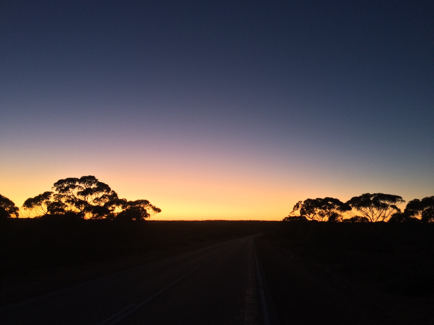
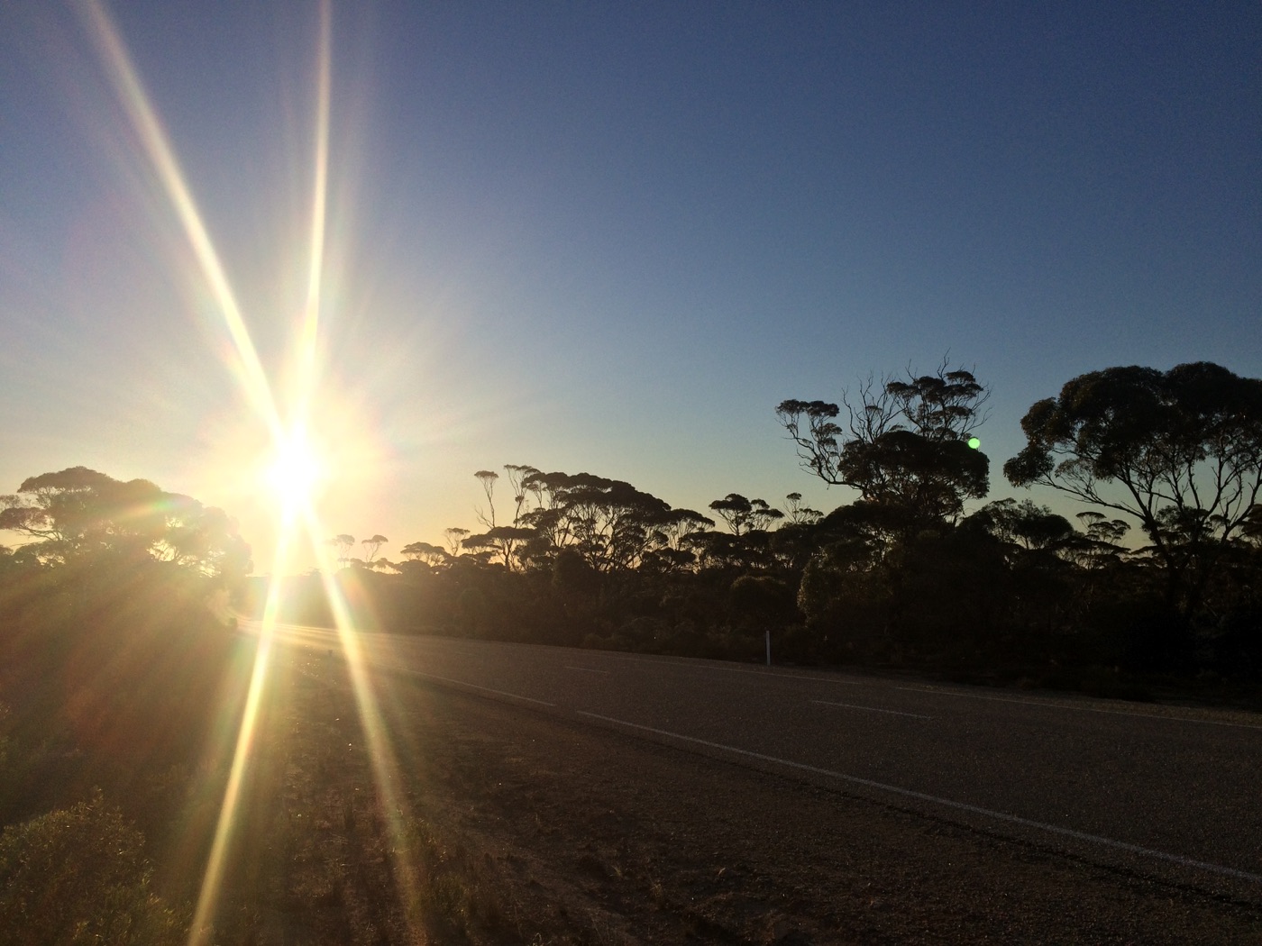
The first photos from the morning are all dark blue and orange: horizon light, black tree shapes, a thin ribbon of bitumen, and the sort of cold that makes every layer feel justified. I was aiming for another day over 50 kilometres, because I had reached the stage where ordinary long days were no longer enough.
The maths had started to bite.
Somewhere around this stretch we had realised there were more kilometres left to Adelaide than we had thought. Part of that was a measurement problem. In the early weeks, there had been a tendency to stop once the GPS watch had clocked the planned distance for the day. That sounded sensible enough when I was tired and looking for a number to trust, but watch distance and route progress were not the same thing.
I was not walking absolute straight lines. Rest breaks meant walking to and from the campervan. Photos, stops, and all the small practical movements around the day added real effort without always moving the Perth-to-Brisbane line forward. And GPS itself was never a perfect measuring tool.
So we tightened the way we measured it. The marked finish point mattered. The campervan odometer and the actual route distance mattered. Start where I stopped. Measure the progress along the route. Keep the route honest.
Separate to that was a Google Maps problem: when I had first mapped out the route from Perth to Brisbane, I had used Google Maps, but had not realised it had quietly included a ferry across Spencer Gulf into the route to Adelaide.
That raised a very simple question. If I took a ferry, could I honestly say I had crossed the whole way on foot?
Ols was clear about it. A ferry would take away the on-foot part. I was tired, worried about time, and desperate to stay on schedule, but he was right. I was grateful for that then, and I am more grateful now. We would go the longer way around.
The funny part is that after all the deliberations and debates, it turned out the ferry was not even operating anyway.
Day 43 sat inside the shift from a plan that looked tidy on paper to a route that had to be measured honestly on the ground. Adelaide still had a fixed date attached to it. We were organising to do parkrun there. The whole journey had a time limit. If there were more kilometres left than we had thought, I had to absorb them through my legs.
No wonder the daily distances were starting to stretch.
The day still had its ordinary HAA strangeness around the edges.
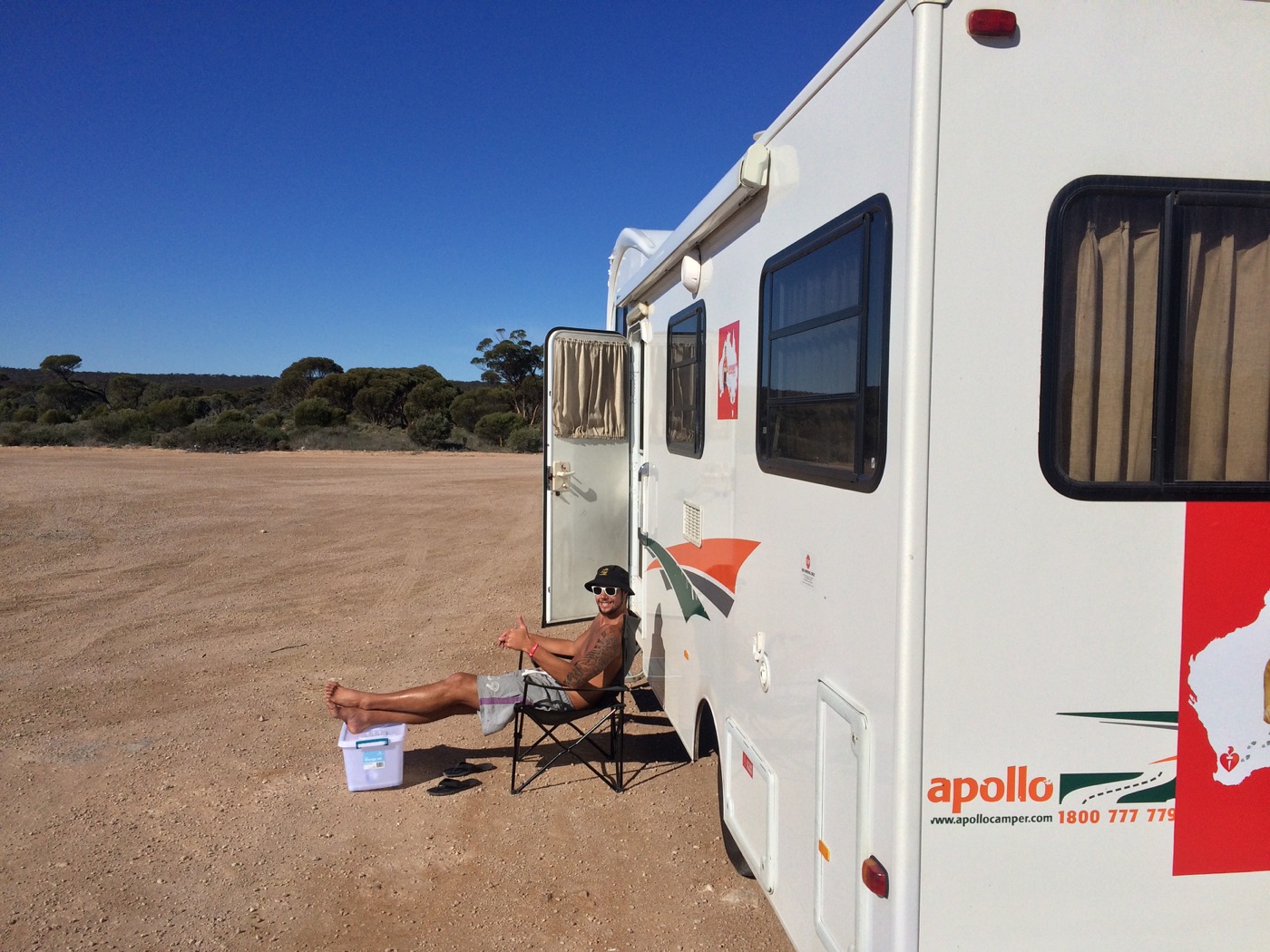
Ben was out on the gravel verge doing 5 x 1 kilometre intervals as part of his half marathon training program. He had decided that being support crew on the Nullarbor was not enough exercise by itself. Meanwhile, there is a photo of Ols sitting in the sun beside the campervan, which looked a little more relaxed than what I was doing at the time.
That contrast made me laugh.
I was out there sweating, hurting, and trying to squeeze every last drop out of a tired mind and body. Support crew life had its own pressures, absolutely, but that particular photo did not exactly scream hardship. 🙂
There was kindness too.
One guy stopped to ask if I wanted water. Another did a U-turn to ask if I wanted a lift. There were waves, horn beeps, and air horn blasts from cars, vans, utes, and trucks. Out there, every little sign of recognition helped. It reminded me that I was visible and that people had seen what I was trying to do, even when I felt like a tired person moving slowly beside the Eyre Highway.
South Australia was beautiful that day.
It was also very hilly.
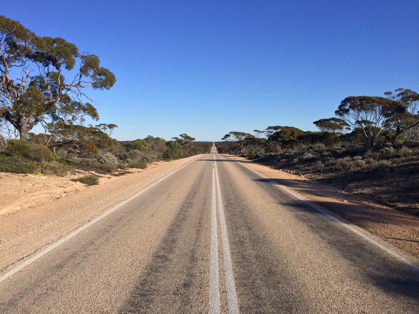
After the treeless plain, the return of trees and rises changed the rhythm completely. The South Australian Eyre Highway was hillier than the Western Australian section had been, and that caught me a little by surprise. It made things tougher, but it also added variety. The highway climbed and dipped through low scrub and mallee, and the views kept opening out in ways that were pretty and slightly rude at the same time. Pretty, because the light and the shapes were lovely. Rude, because every hill asked for more from legs that were already doing enough.
By the end, the numbers were good. I had walked another 56 kilometres, bringing the accumulated total to 1854.4 kilometres. Nundroo was still not reached, but it was close enough to make the next morning feel clear.
I finished tired but happy.
That phrase says a lot about the Nullarbor stretch. Tired was almost guaranteed. Happy was not guaranteed, but it kept arriving anyway.
Images From The Day